RGB Cameras
High-resolution visible-light imaging
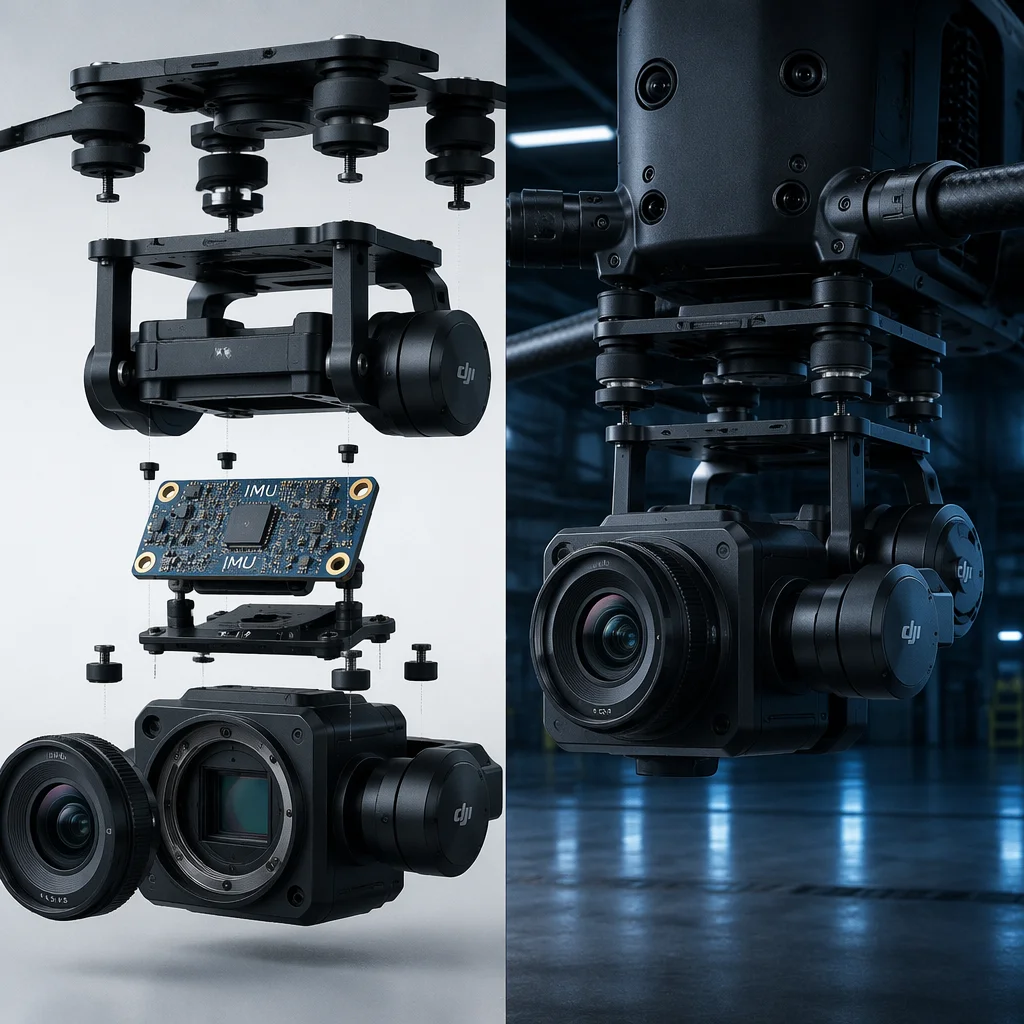
20–61 MP sensors with mechanical or electronic shutter for photogrammetry, inspection and cinematography. Sony A7R series and Phase One industrial cameras for mapping; Sony UMC-R10C and similar purpose-built survey cameras with intervalometer trigger inputs. The camera must support shutter synchronization with the flight controller for geotagging accuracy — either via hot-shoe trigger adapter, PWM cable or MAVLink camera command. Lens selection (24 mm, 35 mm, 50 mm equivalent) trades ground sample distance against coverage swath width. Onboard recording to SD/SSD with simultaneous HDMI output for a live preview downlink is the standard configuration for professional mapping workflows.
- 20–61 MP
- Mechanical shutter
- Geotag sync
- HDMI preview
- Photogrammetry
Thermal Cameras
Radiometric long-wave infrared
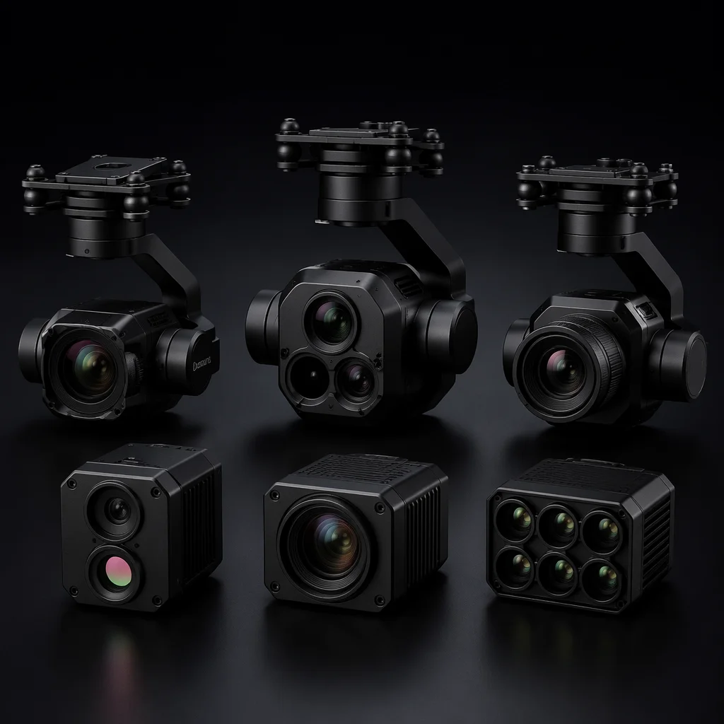
Uncooled microbolometer sensors (FLIR Boson, DJI H20T thermal module) at 320x256 to 640x512 resolution, 7.5–13.5 um waveband. Radiometric models record per-pixel temperature data with accuracy typically within +/-5 degrees C or 5% of reading — essential for solar panel inspection, building thermal audit, electrical substation survey and search-and-rescue. Non-radiometric thermal cameras provide visual heat contrast only, not calibrated temperature measurement. Lens options (wide FOV for area survey, telephoto for standoff inspection) determine the working distance for a given target size. Dual-sensor payloads combine a thermal core with a visible-light camera for overlay and picture-in-picture presentation at the ground station.
- 640x512 LWIR
- Radiometric
- Solar inspection
- Search & rescue
- Dual-sensor
Multispectral
Vegetation index and crop analysis
Multiple narrow-band sensors — typically Red, Green, Blue, Red Edge (717 nm) and Near-Infrared (840 nm) — with a calibrated reflectance panel and downwelling light sensor (DLS) for ambient light correction. MicaSense RedEdge-MX and Altum-PT are the common platforms, with the Altum adding a thermal band for combined vegetation stress and water status analysis. Used for precision agriculture: NDVI, NDRE, NDWI and chlorophyll index mapping. Multispectral data requires post-processing in specialized photogrammetry software (Pix4Dfields, Agisoft Metashape) to generate orthomosaic reflectance maps and vegetation index layers. Flight planning must account for solar angle consistency across the survey area.
- 5–6 band
- NDVI / NDRE
- DLS correction
- Precision ag
- Calibrated panel
LiDAR
3D point cloud generation
Airborne laser scanning payloads (YellowScan, Rock R3 Pro, DJI Zenmuse L2) combining a laser scanner, survey-grade IMU and dual-frequency GNSS into a single integrated unit. Scan rates from 100 kHz to 1.2 MHz with ranging accuracy of 1–3 cm. Multiple returns per pulse enable ground detection under vegetation canopy — a capability that photogrammetry alone cannot provide. Applications: terrain modeling under tree cover, corridor mapping (power lines, pipelines), volumetric stockpile measurement and digital twin creation. LiDAR requires a rigid mechanical mount (any flex between the sensor and IMU introduces point-cloud error), post-processed GNSS trajectory (PPK or RTK), and a dedicated processing workflow (LiDAR360, TerraScan, CloudCompare).
- 100–1200 kHz
- 1–3 cm accuracy
- Multi-return
- Canopy penetration
- PPK/RTK trajectory
Spray Systems
Precision aerial application
Liquid spray payloads for agricultural crop treatment, orchard spraying and vector control. Systems include a tank (5–30 L capacity), pump (diaphragm or centrifugal), boom with multiple nozzles (flat fan or cone), and a flow control system that adjusts spray rate based on aircraft ground speed. Pump flow rates range from 1–8 L/min with pressure regulation for consistent droplet size. The spray controller receives PWM or serial commands from the flight controller to start/stop flow and adjust rate based on mission waypoints. Integration considerations: tank baffles to prevent slosh-induced CG shift, quick-drain valve for field cleaning, corrosion-resistant wetted components (stainless steel, EPDM, Viton) for compatibility with common agricultural chemicals, and electrical isolation of the pump circuit from avionics to prevent EMI.
- 5–30 L tank
- 1–8 L/min flow
- PWM rate control
- Slosh baffle
- Chemical resistant
Drop Mechanisms
Controlled release and delivery
Mechanical release payloads for package delivery, bait drops, life-preserver deployment, fishing line delivery and payload airdrop applications. Servo-actuated or solenoid-driven release mechanisms with load capacities from 500 g to 25 kg. Single-release (one drop per flight) or multi-release (magazine-style sequential drops) configurations. The release mechanism is commanded via a PWM channel from the RC receiver or a MAVLink servo command from the flight controller. Critical integration requirements: fail-safe behavior on signal loss (do not release), mechanical locking that cannot be defeated by vibration or G-loading, payload attachment point rated for 5x static load, and release confirmation feedback (micro-switch or current sensing) telemetered to the operator. For delivery applications, a parachute or autogyro descent system on the payload itself may be integrated to control drop impact velocity.
- 0.5–25 kg capacity
- Servo/solenoid
- Multi-release
- Failsafe lock
- Release confirm